Barruelo De Santullán
- Home → Trails Montaña Palentina → Barruelo De Santullán
Romanesque in the Santullán lands


Route Description
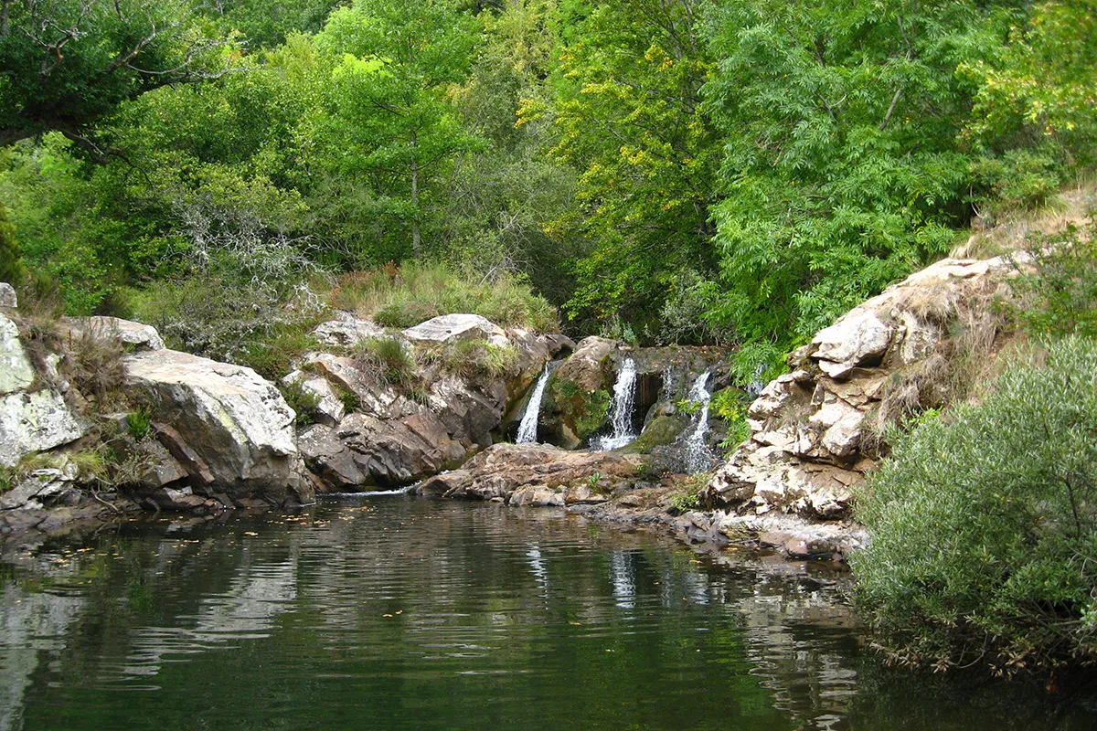
Embark on a captivating journey through Barruelo De Santullán, where Romanesque treasures and stunning landscapes await. Follow the path from the “Visitable Mine” and explore charming villages, cross rivers, and discover historical gems like the Santa María la Real Church and the Sanctuary of Carmen. With easy terrain and breathtaking views, this route promises an unforgettable adventure in the heart of Palencia’s mountainous region.
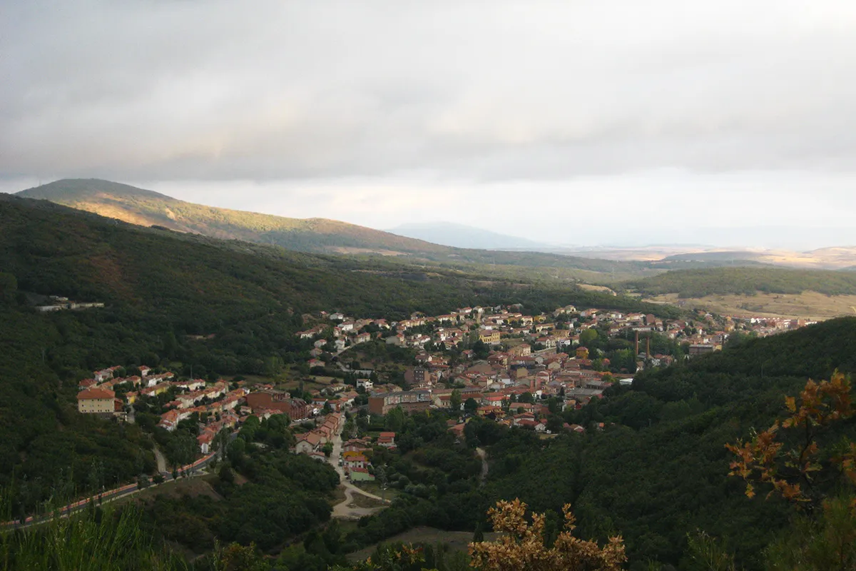
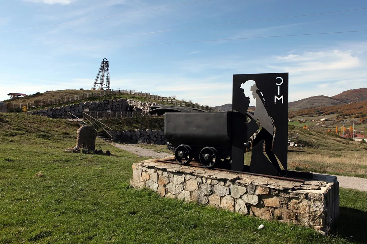
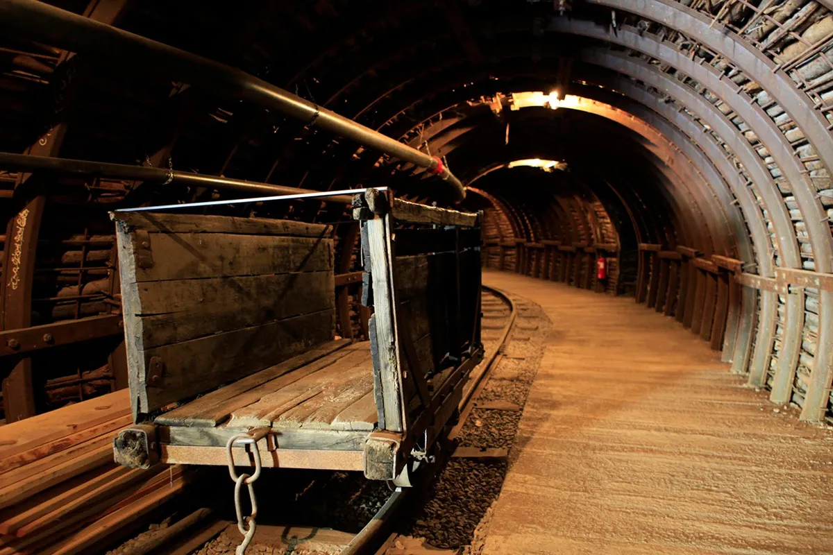
We start this journey by descending from the “Visitable Mine” of Barruelo towards Porquera de Santullán, where we will continue towards Revilla de Santullán. As soon as we arrive, we turn left to cross the Rubagón River and follow a path along the river until we reach the wastewater treatment plant. There, we cross the Aguilar-Brañosera road and take the bike lane that runs parallel to it. After about 300 meters, we leave the bike lane and continue on a path to the former San Cebrián mining train station.
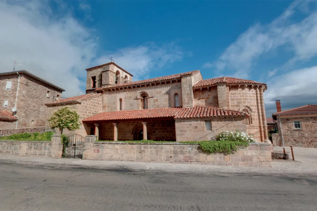
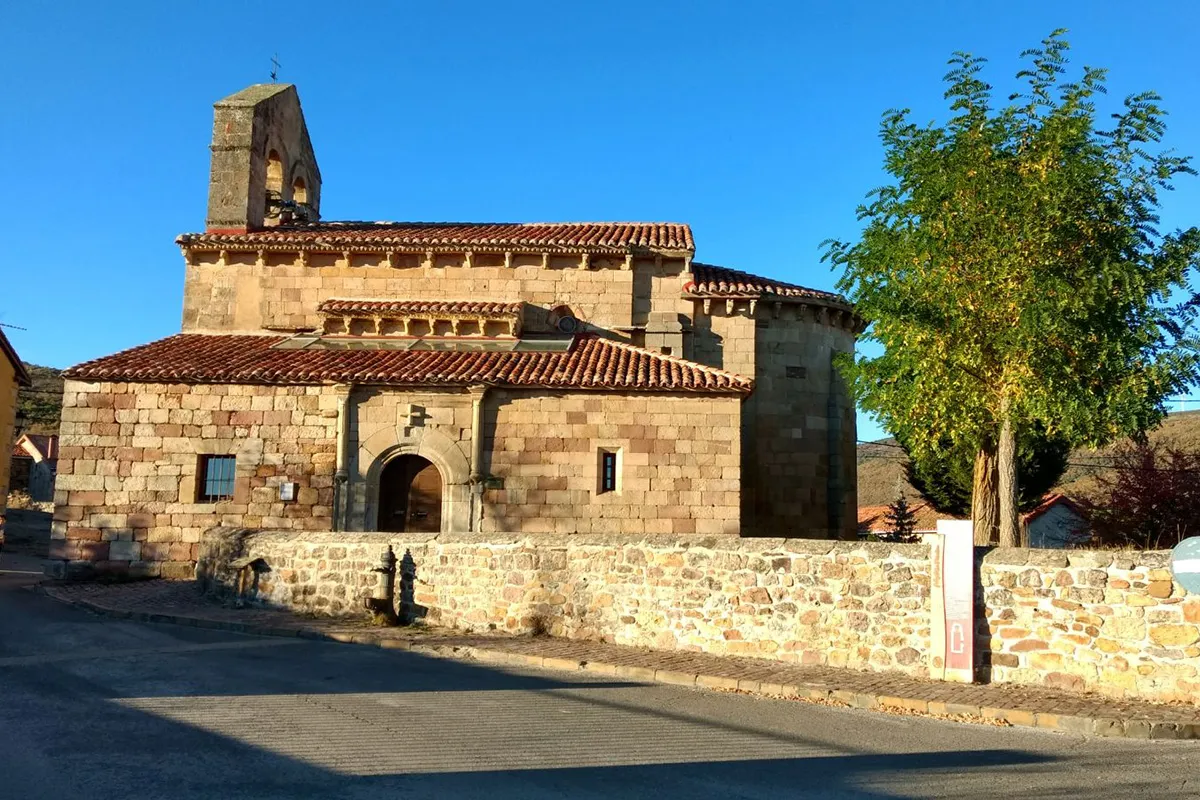
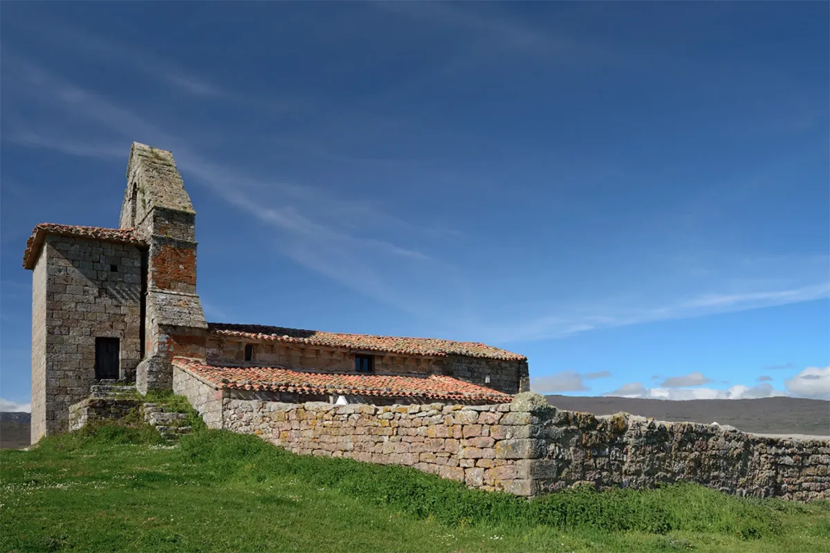
After another short stretch on the path, we rejoin the bike lane near the entrance of Cillamayor, which we reach through the old mining railway route. Once we visit the Church of Santa María la Real and its necropolis, we take a trail that leads us up to the vicinity of Matabuena. From this vantage point, we begin a rapid descent along a path that brings us closer to Santa María de Nava, and from there, we head towards the Sanctuary of Carmen on the road.
From the Sanctuary, following the signs of the Ursi Sculptor Trail, we climb up to Villabellaco. At the entrance of the village, in the parking area, we take a forest track that descends to Revilla de Santullán, and from there, we return to Porquera through the road, completing the circular route.
Note: Along this route, you may find overlapping signage from the following trails:
- Tourist BTT Route through the Mining Basins of Castilla y León.
- Pedaling the Romanesque.
Route Information
Difficulty
Easy
25%Approximate Time
- 1 Hour 45 minutes
Distance
- 17 Km
Elevation
- 350 Meters