


Route Description
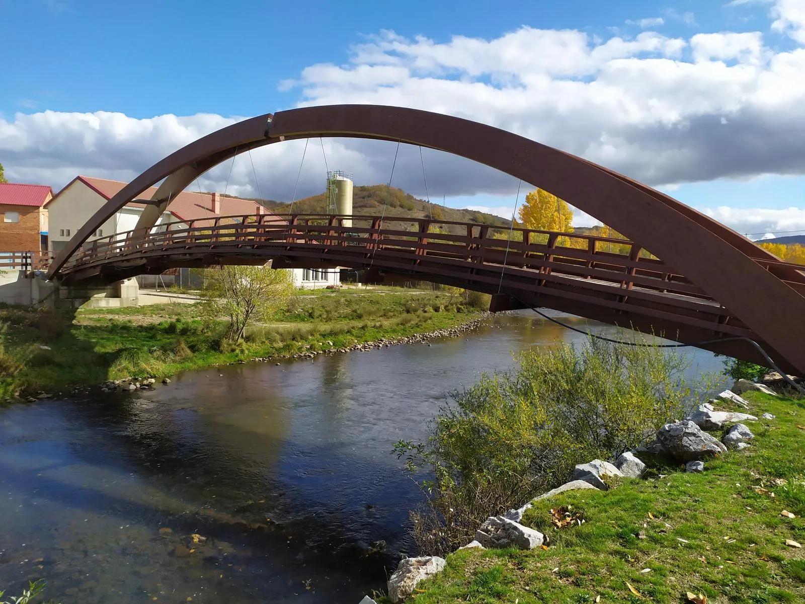
The first section of the trail, adapted for people with reduced mobility, follows the banks of the Pisuerga River until an old irrigation waterwheel.
The most interesting building in Arbejal, along with the Church of San Andrés, is the Casa de la Inquisición, from 1762, which displays the coat of arms of the inquisitor Don Manuel Ramos Marcos on its facade.
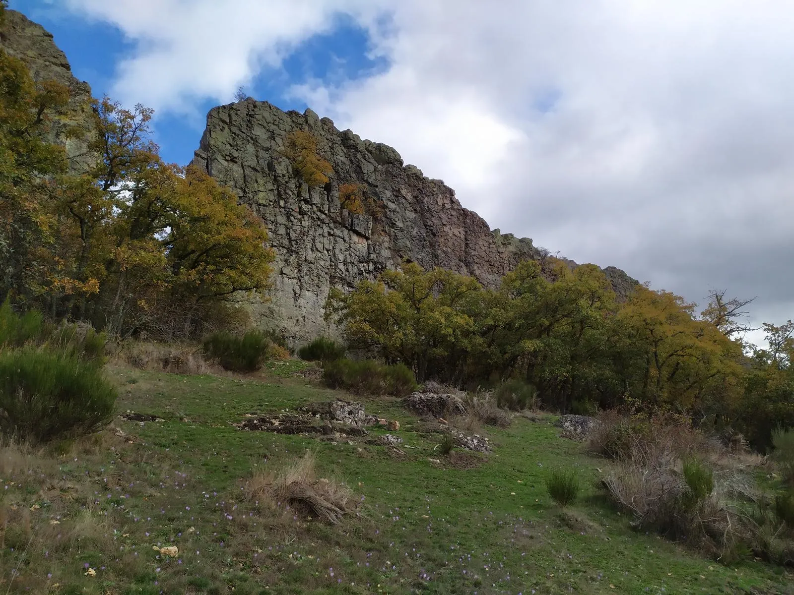
The upper part of the itinerary runs along the base of the quartzite wall of Peñas Negras, at the foot of which there was the village of San Julián, which became the head of the region in the Early Middle Ages.
The Tremendal shepherd’s hut was used by shepherds from Cervera as an overnight shelter during the summer, when they brought their cattle to graze in the meadows and thickets of the area.
The Cordel Cerverano was the livestock route through which the migratory merino flocks accessed the mountain passes of Los Redondos and La Castillería.
Difficulty
Approximate Time
Distance
Elevation Gain
Utilizamos cookies propias y de terceros para fines analíticos y para mostrarte publicidad personalizada en base a un perfil elaborado a partir de tus hábitos de navegación (por ejemplo, páginas visitadas).