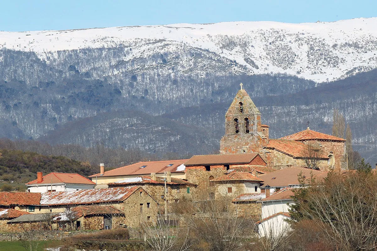
San Cebrián De Mudá
- Home → Trails Montaña Palentina → San Cebrián De Mudá
Alto Valle de Mudá
Route Description
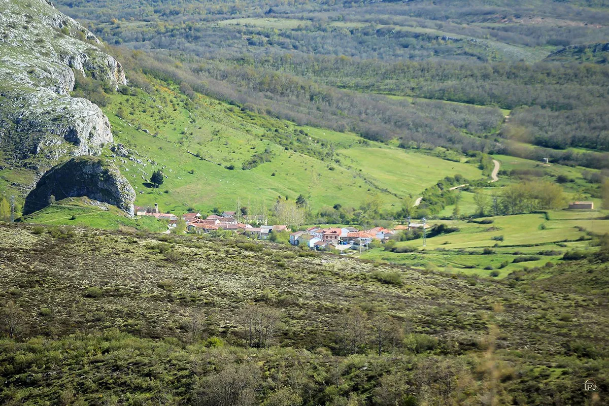
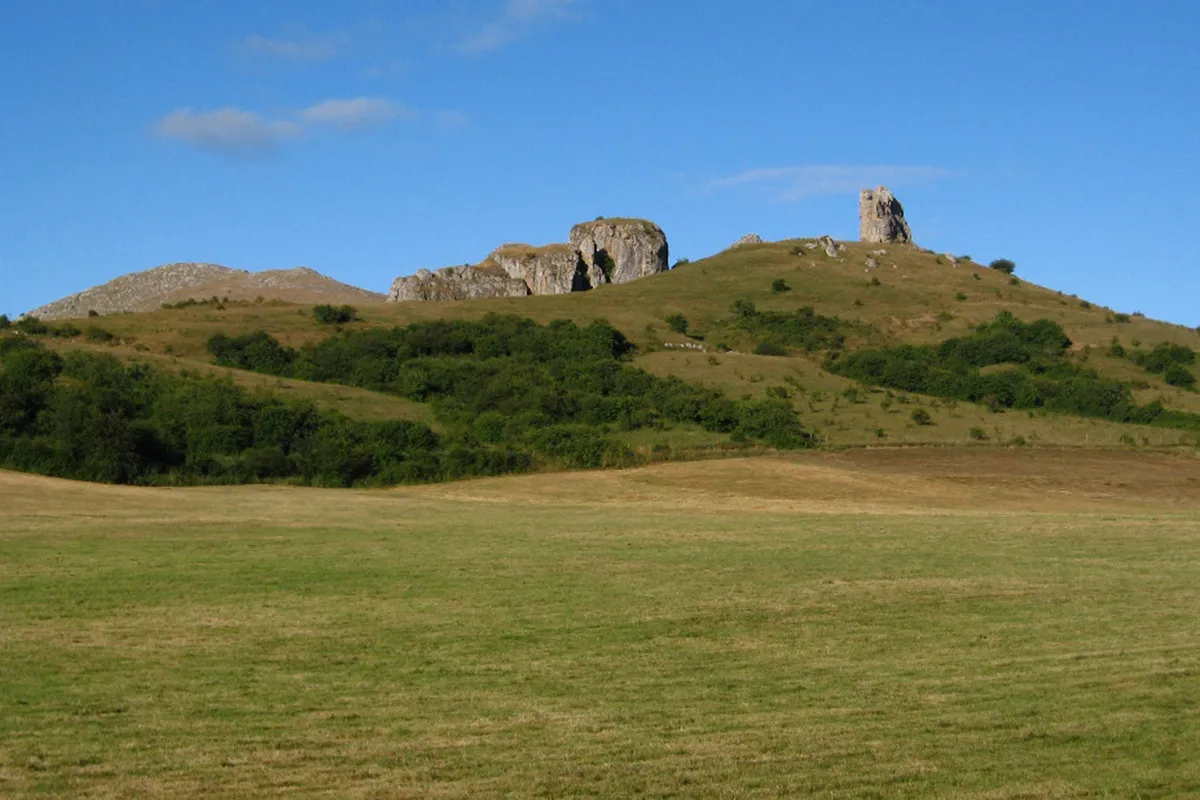
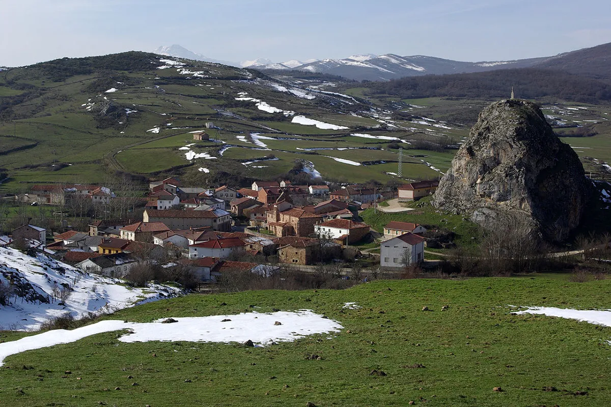
The Mudá Valley is nestled between tall peaks that gradually soften towards the south. This territory is formed by diverse rocks with varying resistance to erosion, resulting in different forms of landscape sculpting. The mixture of materials has led to the convergence of multiple periods of sedimentation in small areas, with numerous faults, fractures, and uplifts.
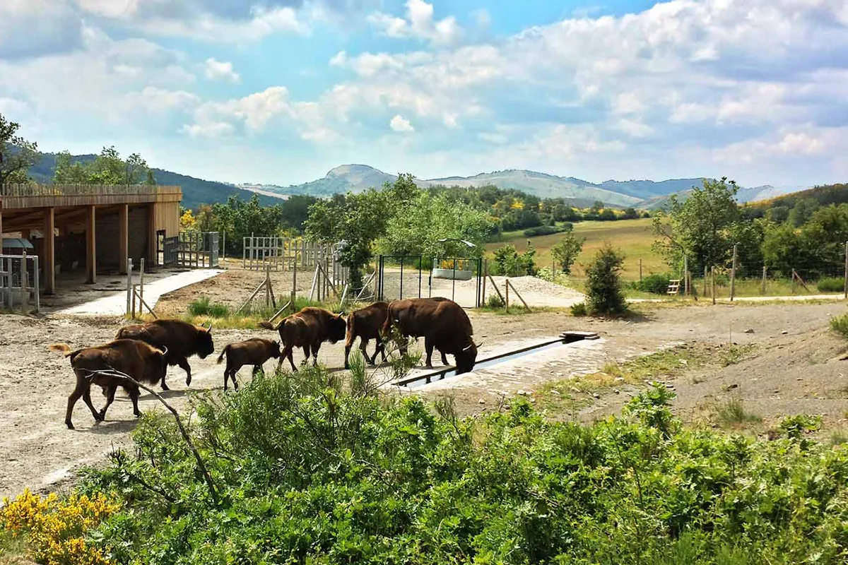
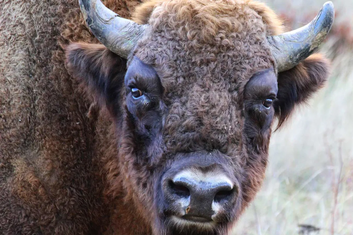
Starting from the European Bison Interpretation Center, we embark on the route by taking a path that leads to the road leading to San Martín de Perapertú. As we surround this village from the south, we encounter a junction where we continue straight ahead to embark on a long ascent through shrublands and expansive meadows, eventually entering a small valley flanked by Peña Mayor and Peña Ciella.
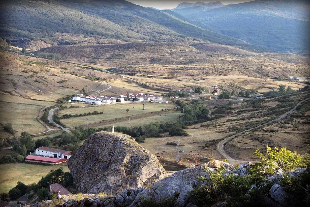
Continuing to gain altitude, we reach the ruins of the ancient Monasterio Castle, where we turn left to descend towards Monasterio. Here, we divert onto the trail that starts on our right, rapidly descending to the Vega del Arroyo del Molino. We then proceed to Mudá along the trail.
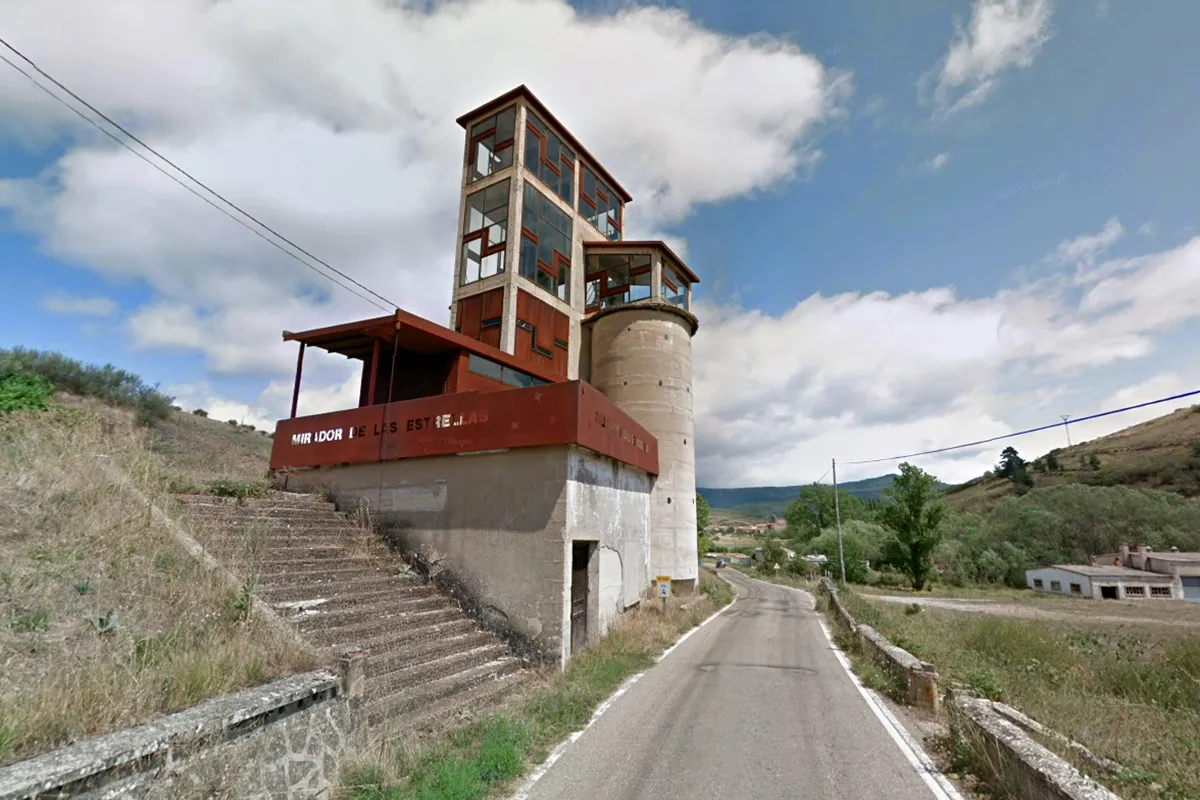
After a brief stroll through the village, we reach the road and turn right, heading north. Upon leaving Mudá, we take the left path that leads almost directly to the Barrio de San Miguel. Before reaching the Mirador de las Estrellas, we divert left onto a trail to gain elevation and join the Camino Natural del Románico, which leads us back to the starting point.
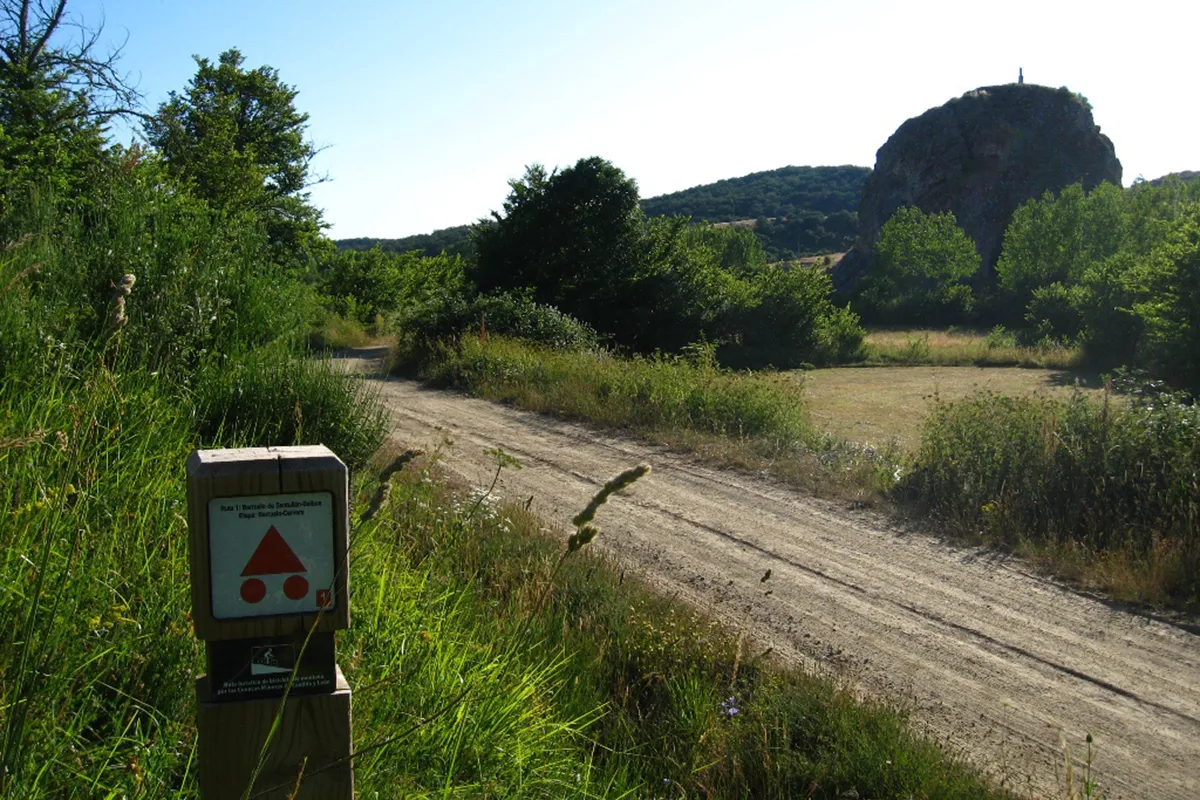
Note: Along this route, you may find coinciding signage for the following trails:
- Touristic BTT Route through the Mining Basins of Castilla y León.
- Camino Natural del Románico in Palencia
Route Data
Difficulty
Easy
25%Approximate Time
- 1 Hours 22 minutes
Distance
- 12,2 Km
Elevation Gain
- 266 Meters